

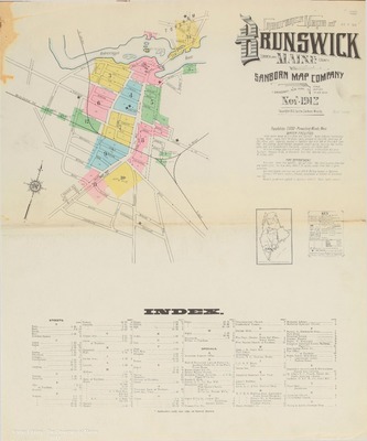
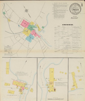
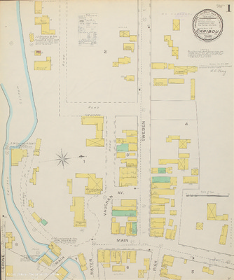
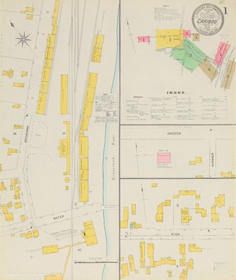
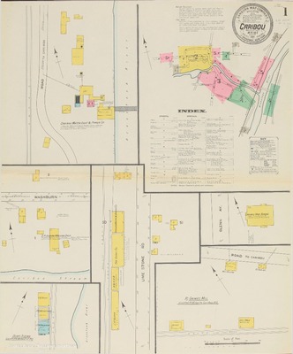
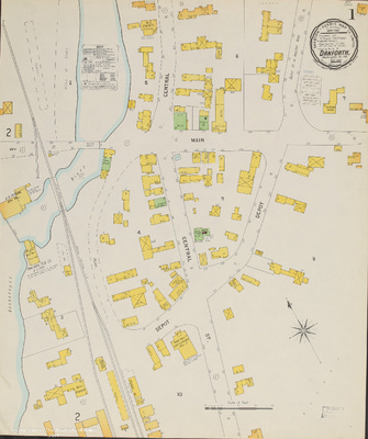
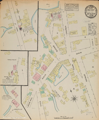
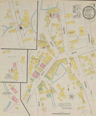
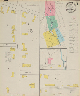
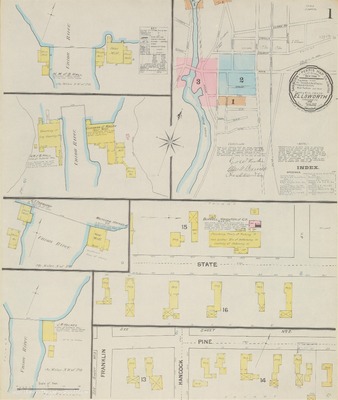
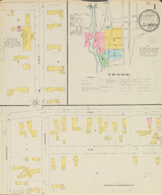
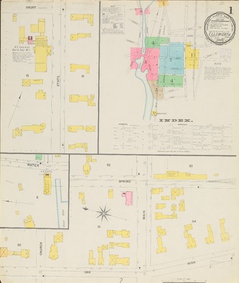
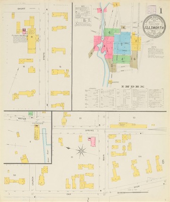
This collection provides digital access to a selection of the fire insurance maps published by the Sanborn Map Company held by the Special Collections Department of Raymond H. Fogler Library. Maps found here include those created for Maine communities through the year 1923.
Additional information about the library's Sanborn map collection, including maps for towns not yet digitized and those published after 1923, can be found in the library's online catalog, URSUS.
We wanted to be sure to note that early Sanborn maps of Portland, Maine, have been digitized by our colleagues at the University of Southern Maine and are available through Osher Map Library's online collections. The Library of Congress has made available online maps published prior to 1900, including those for Maine.
For more information about this collection, please contact the Special Collections Department, 5729 Raymond H. Fogler Library, Orono, ME 04469-5729, um.library.spc @ maine.edu or 207.581.1686.
A Note Regarding Rights & Access
Raymond H. Fogler Library is providing access to these materials for educational and research purposes. The maps that have been uploaded to this digital collection were published before 1923, and the library is not aware of any U.S. copyright protection (see Title 17 of the United States Code) or any other restrictions. However, responsibility for making an independent legal assessment and securing necessary permissions for items ultimately rests with those who wish to use them.
-

Island Falls, 1900
Sanborn-Perris Map Co.
Maps of Island Falls, Maine, at a scale of 1:600 or 50 ft. to an inch. The original color maps are on sheets 64 x 54 cm.
-

Island Falls, 1906
Sanborn Map Company
Maps of Island Falls, Maine, at a scale of 1:600 or 50 ft. to an inch. The original color maps are on sheets 64 x 54 cm.
-

Island Falls, 1912
Sanborn Map Company
Maps of Island Falls, Maine, at a scale of 1:600 or 50 ft. to an inch. The original color maps are on sheets 64 x 54 cm. Sheet 1 includes an index of the area covered on the remaining sheets.
-

Island Falls, 1919
Sanborn Map Company
Maps of Island Falls, Maine, at a scale of 1:600 or 50 ft. to an inch. The original color maps are on sheets 64 x 54 cm. Sheet 1 includes an index of the area covered on the remaining sheets.
-

Jackman, 1914
Sanborn Map Company
Maps of Jackman, Maine, at a scale of 1:600 or 50 ft. to an inch. The original color maps are on sheets 64 x 54 cm. Sheet 1 includes an index of the area covered on the remaining sheets.
-

Jackman, 1927
Sanborn Map Company
Maps of Jackman, Maine, at a scale of 1:600 or 50 ft. to an inch. The original color maps are on sheets 64 x 54 cm. Sheet 1 includes an index of the area covered on the remaining sheets.
-

Jay, 1917
Sanborn Map Company
Maps of Jay, Maine, at a scale of 1:600 or 50 ft. to an inch. The original color maps are on sheets 64 x 54 cm.
-

Jonesport, 1889
Sanborn-Perris Map Company
Map of Jonesport, Maine, at a scale of 1:600 or 50 ft. to an inch. The original color map is 64 x 54 cm.
-

Jonesport, 1895
Sanborn-Perris Map Co.
Map of Jonesport, Maine, at a scale of 1:600 or 50 ft. to an inch. The original color map is 64 x 54 cm.
-

Jonesport, 1901
Sanborn-Perris Map Co.
Maps of Jonesport, Maine, at a scale of 1:600 or 50 ft. to an inch. The original color maps are on sheets 64 x 54 cm.
-

Jonesport, 1906
Sanborn Map Company
Maps of Jonesport, Maine, at a scale of 1:600 or 50 ft. to an inch. The original color maps are on sheets 64 x 54 cm.
-

Jonesport, 1911
Sanborn Map Comapny
Maps of Jonesport, Maine, at a scale of 1:600 or 50 ft. to an inch. The original color maps are on sheets 64 x 54 cm.
-

Jonesport, 1925
Sanborn Map Company
Maps of Jonesport, Maine, at a scale of 1:600 or 50 ft. to an inch. The original color maps are on sheets 64 x 54 cm. Sheet 1 includes an index.
Maps show the locations of the Congregational Church, Cummings & Norton Builders' Supplies, Fire Department, High School, Hinckley Stevens Co. and Sardine Factory, Maine Central Wharf, C. H. Mansfield Fish Packing Company and Sardine Factory, Memorial Library, Post Office, Redmen Hall, Re-organized Church of Jesus Christ of Latter Day Saints, School Houses on Main Street, Smith's Opera House and Movies, Standard Oil Company, R. B. & C. G. Stevens Smoked Fish, Telephone Exchange Building, W. Underwood Fish Canning Factory and the Woodward Cottage Boarding House.
-

Kingfield, 1901
Sanborn Map Company
Map of Kingfield, Maine, at a scale of 1:600 or 50 ft to 1 inch. The original color map is 64 x 54 cm.
-

Kingfield, 1908
Sanborn Map Company
Maps of Kingfield, Maine, at a scale of 1:600 or 50 ft to 1 inch. The original color maps are on sheets 4 x 54 cm. Sheet 1 includes an index of the area covered on subsequent sheets.
-

Kingfield, 1923
Sanborn Map Company
Map of Kingfield, Maine, at a scale of 1:1200 or 100 ft to 1 inch. The original color map is 64 x 54 cm. Map includes the area of downtown along the Carrabassett River and shows the locations of the Wing Spool and Bobbin Company, Jenkins and Bogert Manufacturing Company's Novelty Wood Turning Works, and the Roy C. Huse Bull Spool and Bobbin Mill.
-

Limestone, 1900
Sanborn-Perris Map Co., Limited
A map of Limestone, Maine, at a scale of 1:600 or 50 ft. to an inch. The original color map is 64 x 54 cm. Businesses that appear on the map include W. I. Getchell's Saw Mill, J. M. Noyes Saw Mill, McKeever & Hall Potato House, W. B. Ward Potato House, Nelson & Clark Potato House, the Bowker Fertilizer Store House, R. B. Levett Potato House, S. B. Durepo Potato House and the T. H. Phair Starch Factory.
-

Limestone, 1906
Sanborn Map Company
Maps of Limestone, Maine, at a scale of 1:600 or 50 ft. to an inch. The original color maps are on sheets 64 x 54 cm. Maps show primarily the area of town that surrounds Main Street and Church Street.
-

Limestone, 1911
Sanborn Map Company
Maps of Limestone, Maine, at a scale of 1:600 or 50 ft. to an inch. The original color maps are on sheets 64 x 54 cm.
-

Limestone, 1919
Sanborn Map Company
Maps of Limestone, Maine, at a scale of 1:600 or 50 ft. to an inch. The original color maps are on sheets 64 x 54 cm. Sheet 1 includes an index of the area covered on the remaining sheets.
-

Lincoln, 1895
Sanborn-Perris Map Co., Limited
A color map of Lincoln, Maine, at a scale of 1:600 or 50 ft. to an inch on a sheet 64 x 54 cm.
-

Lincoln, 1901
Sanborn-Perris Map Co., Limited
A color map of Lincoln, Maine, at a scale of 1:600 or 50 ft. to an inch on a sheet 64 x 54 cm.
-

Lincoln, 1912
Sanborn Map Company
A color map of Lincoln, Maine, at a scale of 1:600 or 50 ft. to an inch on a sheet 64 x 54 cm.
-

Lincoln, 1921
Sanborn Map Company
Maps of Lincoln, Maine, at a scale of 1:600 or 50 ft. to an inch. The original color maps are on sheets 64 x 54 cm. Sheet 1 includes an index of the area covered on the remaining sheets.
-

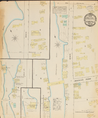
Machias, 1884
Sanborn Map and Publishing Co.
Map of Machias, Maine, at a scale of 1:600 or 50 ft. to an inch. The original color map is on a sheet 64 x 54 cm.
-

Machias, 1889
Sanborn-Perris Map Co.
Maps of Machias, Maine, at a scale of 1:600 or 50 ft. to an inch. The original color maps are on sheets 64 x 54 cm.
-

Machias, 1897
Sanborn-Perris Map Co.
Maps of Machias, Maine, at a scale of 1:600 or 50 ft. to an inch. The original color maps are on sheets 64 x 54 cm. Sheet 1 includes an index of the area covered on subsequent sheets.
-

Machias, 1903
Sanborn Map Company
Maps of Machias, Maine, at a scale of 1:600 or 50 ft. to an inch. The original color maps are on sheets 64 x 54 cm. Sheet 1 includes an index of the area covered on subsequent sheets.
-

Machias, 1911
Sanborn Map Company
Maps of Machias, Maine, at a scale of 1:600 or 50 ft. to an inch. The original color maps are on sheets 64 x 54 cm. Sheet 1 includes an index of the area covered on subsequent sheets.
-

Mapleton, 1919
Sanborn Map Company
A map of Mapleton, Maine, at a scale of 1:600 or 50 ft. to an inch. The original color map is 64 x 54 cm. Businesses that appear on the map include Mapleton Mill Company and Starch Factory, Mapleton Flour & Feed Co., E. W. Fernald, Smith & Dudley, Griffin & Doble, United Farmers, O. Higgins, and the Bangor & Aroostook Railroad.
-

Mars Hill, 1895
Sanborn-Perris Map Co., Limited
A map of Mars Hill, Maine, at a scale of 1:600 or 50 ft. to an inch. The original color map is 64 x 54 cm. Businesses that appear on the map included Houghton and Richards Starch Factory, York, Luce and Parsons Starch Factory, G. A. London Saw Mill, the Aroostic Hotel, and potato houses for Pierce & Richard, F. Thurlow, John Haley, and R. A. Snow.
-

Mars Hill, 1900
Sanborn-Perris Map Co., Limited
Maps of Mars Hill, Maine, at a scale of 1:600 or 50 ft. to an inch. The original color maps are on sheets 64 x 54 cm. Businesses that appear on the maps include B. F. Jones Saw Mill, John Haley Starch Factory, J. E. York Starch Factory, Cleveland's Potato House, and Cleveland and Ludwig Starch Factory and Saw Mill.
-

Mars Hill, 1906
Sanborn Map Company
Maps of Mars Hill, Maine, at a scale of 1:600 or 50 ft. to an inch. The original color maps are on sheets 64 x 54 cm.
-

Mars Hill, 1912
Sanborn Map Company
Maps of Mars Hill, Maine, at a scale of 1:600 or 50 ft. to an inch. The original color maps are on sheets 64 x 54 cm. Sheet 1 includes an index of the area covered on the remaining sheets.
-

Milbridge, 1884
Sanborn Map & Publishing Co.
A map of Millbridge (later known as Milbridge), Maine, at a scale of 1:600 or 50 ft. to an inch. The original color map is 64 x 54 cm.
-

Milbridge, 1886
Sanborn Map & Publishing Co.
A map of Millbridge (later known as Milbridge), Maine, at a scale of 1:600 or 50 ft. to an inch. The original color map is 64 x 54 cm.
-

Milbridge, 1895
Sanborn-Perris Map Co.
A map of Millbridge (later known as Milbridge), Maine, at a scale of 1:600 or 50 ft. to an inch. The original color map is 64 x 54 cm.
-

Milbridge, 1901
Sanborn-Perris Map Co.
Maps of Millbridge (later known as Milbridge), Maine, at a scale of 1:600 or 50 ft. to an inch. The original color maps are on sheets 64 x 54 cm.
-

Milbridge, 1906
Sanborn Map Company
Maps of Millbridge (later known as Milbridge), Maine, at a scale of 1:600 or 50 ft. to an inch. The original color maps are on sheets 64 x 54 cm.
-

Millinocket, 1901
Sanborn-Perris Map Co.
Maps of Millinocket, Maine, at a scale of 1:600 or 50 ft. to an inch. The original color maps are on sheets 64 x 54 cm. Sheet 1 includes an index of the area covered on the remaining sheets.
-

Millinocket, 1904
Sanborn Map Company
Maps of Millinocket, Maine, at a scale of 1:600 or 50 ft. to an inch. The original color maps are on sheets 64 x 54 cm. Sheet 1 includes an index of the area covered on the remaining sheets.
-

Millinocket, 1912
Sanborn Map Company
Maps of Millinocket, Maine, at a scale of 1:600 or 50 ft. to an inch. The original color maps are on sheets 64 x 54 cm. Sheet 1 includes an index of the area covered on the remaining sheets.
-

Millinocket, 1916
Sanborn Map Company
Maps of Millinocket, Maine, at a scale of 1:600 or 50 ft. to an inch. The original color maps are on sheets 64 x 54 cm. Sheet 1 includes an index of the area covered on the remaining sheets.
-

Milo, 1900
Sanborn-Perris Map Co.
Maps of Milo, Maine, at a scale of 1:600 or 50 ft. to an inch. The original color maps are on sheets 64 x 54 cm.
-

Milo, 1906
Sanborn Map Company
Maps of Milo, Maine, at a scale of 1:600 or 50 ft. to an inch. The original color maps are on sheets 64 x 54 cm.
-

Milo, 1912
Sanborn Map Company
Maps of Milo, Maine, at a scale of 1:600 or 50 ft. to an inch. The original color maps are on sheets 64 x 54 cm. Sheet 1 includes an index of the area covered on the remaining sheets.
-

Monson, 1904
Sanborn Map Company
Maps of Monson, Maine, at a scale of 1:600 or 50 ft. to an inch. The original color maps are on sheets 64 x 54 cm. Sheet 1 includes an index of the area covered on the remaining sheets.
-

Monson, 1911
Sanborn Map Company
Maps of Monson, Maine, at a scale of 1:600 or 50 ft. to an inch. The original color maps are on sheets 64 x 54 cm. Sheet 1 includes an index of the area covered on the remaining sheets.
-

Monticello, 1895
Sanborn-Perris Map Co., Limited
A map of Monticello, Maine, at a scale of 1:600 or 50 ft. to an inch. The original color map is 64 x 54 cm. Businesses that appear on the map include the Dirigo Starch Factory and the H. C. Sharp Saw Mill and Shingle Mill.
-

Newport, 1885
Sanborn Map & Publishing Co., Limited
A map of Newport, Maine, at a scale of 1:600 or 50 ft. to an inch. The original color map is 64 x 54 cm.
-

Newport, 1892
Sanborn-Perris Map Co.
Maps of Newport, Maine, at a scale of 1:600 or 50 ft. to an inch. The original color maps are on sheets 64 x 54 cm.
-

Newport, 1896
Sanborn-Perris Map Co.
Maps of Newport, Maine, at a scale of 1:600 or 50 ft. to an inch. The original color maps are on sheets 64 x 54 cm.
-

Newport, 1901
Sanborn-Perris Map Co.
Maps of Newport, Maine, at a scale of 1:600 or 50 ft. to an inch. The original color maps are on sheets 64 x 54 cm.
-

Newport, 1912
Sanborn Map Company
Maps of Newport, Maine, at a scale of 1:600 or 50 ft. to an inch. The original color maps are on sheets 64 x 54 cm. Sheet 1 includes an index of the area covered on the remaining sheets.
-

Northeast Harbor, 1901
Sanborn-Perris Map Co.
A map of Northeast Harbor, Maine, at a scale of 1:600 or 50 ft. to an inch. The original color map is 64 x 54 cm.
-

Northeast Harbor, 1921
Sanborn Map Company
Maps of Northeast Harbor, Maine, at a scale of 1:600 or 50 ft. to an inch. The original color maps are on sheets 64 x 54 cm. Sheet 1 includes an index of the area covered on the remaining sheets.
-

Old Town, 1884
Sanborn Map & Publishing Co.
Map of Old Town, Maine, at a scale of 1:600 or 50 ft. to an inch. The original color map is 64 x 54 cm.
-

Old Town, 1889
Sanborn Map & Publishing Co.
Maps of Old Town, Maine, at a scale of 1:600 or 50 ft. to an inch. The original color maps are on sheets 64 x 54 cm. Sheet 1 includes an index of the area covered on the remaining sheets.
-

Old Town, 1895
Sanborn Map & Publishing Co.
Maps of Old Town, Maine, at a scale of 1:600 or 50 ft. to an inch. The original color maps are on sheets 64 x 54 cm. Sheet 1 includes an index of the area covered on the remaining sheets.
-

Old Town, 1901
Sanborn-Perris Map Co.
Maps of Old Town, Maine, at a scale of 1:600 or 50 ft. to an inch. The original color maps are on sheets 64 x 54 cm. Sheet 1 includes an index of the area covered on the remaining sheets.