Document Type
Article
Publisher
New England Division
Rights and Access Note
Rights assessment remains the responsibility of the researcher. No known restrictions on publication. For information about the process and fees for obtaining higher resolution scans or another file format, contact Special Collections.
Publication Date
1978
Publisher location
Waltham, MA
Abstract/ Summary
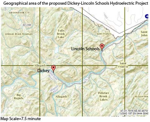
The purpose of this report is to evaluate and describe the existing recreational use and resources of the project area and the encompassing study area and to project the future use of those resources both with and without the Dickey-Lincoln School Lakes Project. The primary impact area of the proposed project (project area) includes the St. John River watershed upstream of the proposed damsites to the confluence of Nine-mile Brook. The area is bounded by the watershed divide with the Allagash River on the east and the Canadian Border on the west. Major tributaries of the St. John affected by the proposed dams and included in the project area are the Big Black River and Little Black River. Recreation use of the St. John River watershed above Nine-mile Brook would also be affected, and although this area is not contained in the project area, it is considered within the scope of this study. This study develops and evaluates a concept plan for the recreation potential of the Dickey-Lincoln School project and assesses the recreational impact of this recommended concept plan.
Repository Citation
U.S. Army, Corps of Engineers; New England Division; Northern Maine Regional Planning Commission; and Land Use Consultants, Inc., "Dickey-Lincoln School Lakes Project Environmental Impact Statement: Appendix G: Recreation Resources (Revised June 1978)" (1978). Dickey-Lincoln School Lakes Project. 26.
https://digitalcommons.library.umaine.edu/dickey_lincoln/26
Citation/Publisher Attribution
Northern Maine Regional Planning Commission, Land Use Consultants, and United States. 1978. Dickey-Lincoln School Lakes Project environmental impact statement: appendix G: recreation resources (revised June 1978). Waltham, Mass: The Division.
Version
publisher's version of the published document


