Document Type
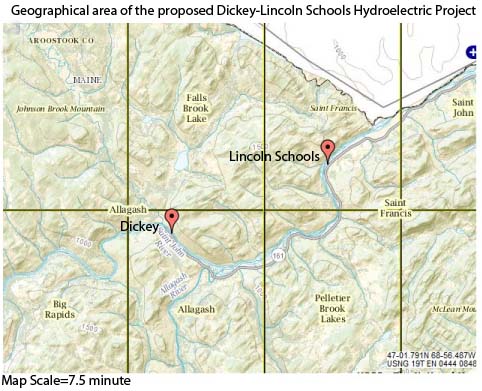
Map
Publisher
United States. Department of Energy
Rights and Access Note
Rights assessment remains the responsibility of the researcher. No known restrictions on publication. For information about the process and fees for obtaining higher resolution scans or another file format, contact Special Collections.
Publication Date
1978
Publisher location
Bangor, ME
Abstract/ Summary
Source data for base map taken from US Geological Survey Topographic Maps. 1:250.000 scale series. Horizontal and vertical control depicted herein is relative to the U S.G S source maps.
Repository Citation
United States. Department of Energy, "Alternative Power Transmission Corridors. Map Volume." (1978). Dickey-Lincoln School Lakes Project. 64.
https://digitalcommons.library.umaine.edu/dickey_lincoln/64
Citation/Publisher Attribution
United States, and Dickey-Lincoln School Lakes Project. 1978. Alternative power transmission corridors. Bangor, Me: U.S. Dept. of Energy.
Version
publisher's version of the published document


