Document Type
Report
Publisher
U.S. Army Corps of Engineers, New England Division
Rights and Access Note
Rights assessment remains the responsibility of the researcher. No known restrictions on publication. For information about the process and fees for obtaining higher resolution scans or another file format, contact Special Collections.
Publication Date
1981
Publisher location
Waltham, MA
Abstract/ Summary
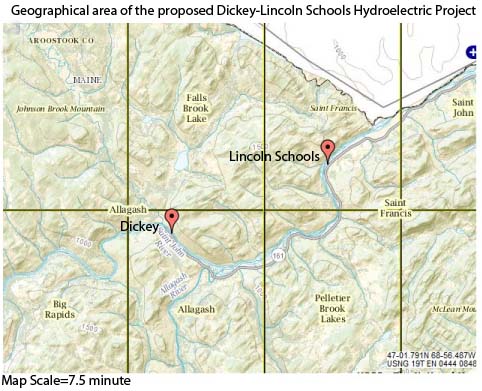
The overall study area encompassed the St. John River and its major tributaries; including the Little and Big Black Rivers (and their tributaries); and all lands extending 3.2 km (2 mi) beyond the maximum elevation of thv predicted impoundment of the Dickey Dam (1,560 km ). Research was concentra-ted in a portion of this area roughly bounded on the north by Chimenticook Stream, on the east by the St. John River, on the west by the United States-Canadian border, and on the south by a line drawn east-west through Seven Islands (Figure 1.0-1). Intensive marten studies were restricted to townships T14 R15 and T14 R16. Some radio-collared animals did not respect these boundaries and consequently were tracked in large portions of northern Maine and eastern Quebec.
Repository Citation
University of Maine at Orono, Maine; Cooperative Wildlife Research Unit; United States Army Engineer Division; and New England Division, "Dickey-Lincoln School Lakes Project Environmental Impact Statement: Appendix F: Terrestrial Ecosystem Analysis (Supplement 2)" (1981). Dickey-Lincoln School Lakes Project. 27.
https://digitalcommons.library.umaine.edu/dickey_lincoln/27
Citation/Publisher Attribution
University of Maine at Orono, and United States. 1981. Dickey-Lincoln School Lakes Project environmental impact statement: appendix F: terrestial ecosystem analysis (supplement 2). Waltham, Mass: U.S. Army Corps of Engineers, New England Division.
Version
publisher's version of the published document


