Document Type
Report
Publisher
Cold Regions Research and Engineering Laboratory, Department of the Army, Corps of Engineers
Rights and Access Note
Rights assessment remains the responsibility of the researcher. No known restrictions on publication. For information about the process and fees for obtaining higher resolution scans or another file format, contact Special Collections.
Publication Date
1976
Publisher location
Hanover, NH.
Abstract/ Summary
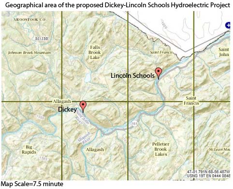
This report contains Appendixes A and B of Special Report 242, use of remote sensing to quantify construction material and to define geologic lineations.
Repository Citation
McKim, H. L. and Merry, C. J., "Use of Remote Sensing to Quantify Construction Material and to Define Geologic Lineations : Dickey-Lincoln School Lakes Project, Maine" (1976). Dickey-Lincoln School Lakes Project. 66.
https://digitalcommons.library.umaine.edu/dickey_lincoln/66
Citation/Publisher Attribution
McKim, H. L., and C. J. Merry. 1976. Use of remote sensing to quantify construction material and to define geologic lineations: Dickey-Lincoln School Lakes Project, Maine. Hanover, N.H.: Dept. of Defense, Dept. of the Army, Corps of Engineers, Cold Regions Research and Engineering Laboratory.
Version
publisher's version of the published document
Included in
Architectural Engineering Commons, Construction Engineering Commons, Geology Commons, History Commons, Landscape Architecture Commons, Natural Resources Management and Policy Commons, Operations Research, Systems Engineering and Industrial Engineering Commons, Other Geography Commons, Physical and Environmental Geography Commons, Remote Sensing Commons, Soil Science Commons, Statistics and Probability Commons


